Monday 30 January 2012

Floods in India

A father evacuates his children from Buraburi village in the flood-hit Morigaon district of Assam, 70km from Guwahati city, northeast India, 04 September 2008. The flood situation in the Assam state worsened as the water level is rising due to continous rain. Floods have so far claimed 15 lives in Assam and more than a million people have been affected in 1,106 villages in 12 districts and destroyed cropped area of more than 120,000 hectares and partially damaged 51,272 houses in the Assam State.  EPA/STR

More than two million people have been affected by floods in India.
Heavy monsoon rains have been battering parts of India for the past fortnight.
More than 80 people have died in flood-related incidents, and some areas have been cut off by rising waters.
Heavy rains have killed more than 30 people across the state.
Several districts have been inundated by flood waters.
Some areas have been cut off because of breaches to river banks and embankments. Helicopters are the only way to bring food and water to people stranded there.
Officials said that more than 130,000 people have been evacuated to safety as the relief and rescue operation moves into full swing.
Hundreds of thousands of people in the state are reported to be taking refuge in trees or on the tops of buildings as flood waters continue to rise

Erosion

The process known as weathering breaks up rocks so that they can be carried away by the process known as erosion. Water, wind, ice, and waves are the agents of erosion that wear away at the surface of the earth.


Erosion by water


VIDEO: Erosion by water


Wednesday 25 January 2012

Aurora borealis


The Aurora borealis is a natural light display in the sky, particularly in the Arctic and Antarctic regions. The Aurora borealis is caused by the collision of energetic charged particles with atoms in the high altitude atmosphere. The charged particles originate in the magnetosphere and solar wind and, on Earth, are directed by the Earth's magnetic field into the atmosphere.


Plate tectonics

 Plate tectonics is a scientific theory describing how continents move around on the mantle and how sea floor is produced and destroyed. Plate tectonics is able to account for many major geological features: mountain building, volcanoes, earthquakes, the worldwide distribution of fossils and the ages of rocks on continents and the sea floor.


Friday 20 January 2012

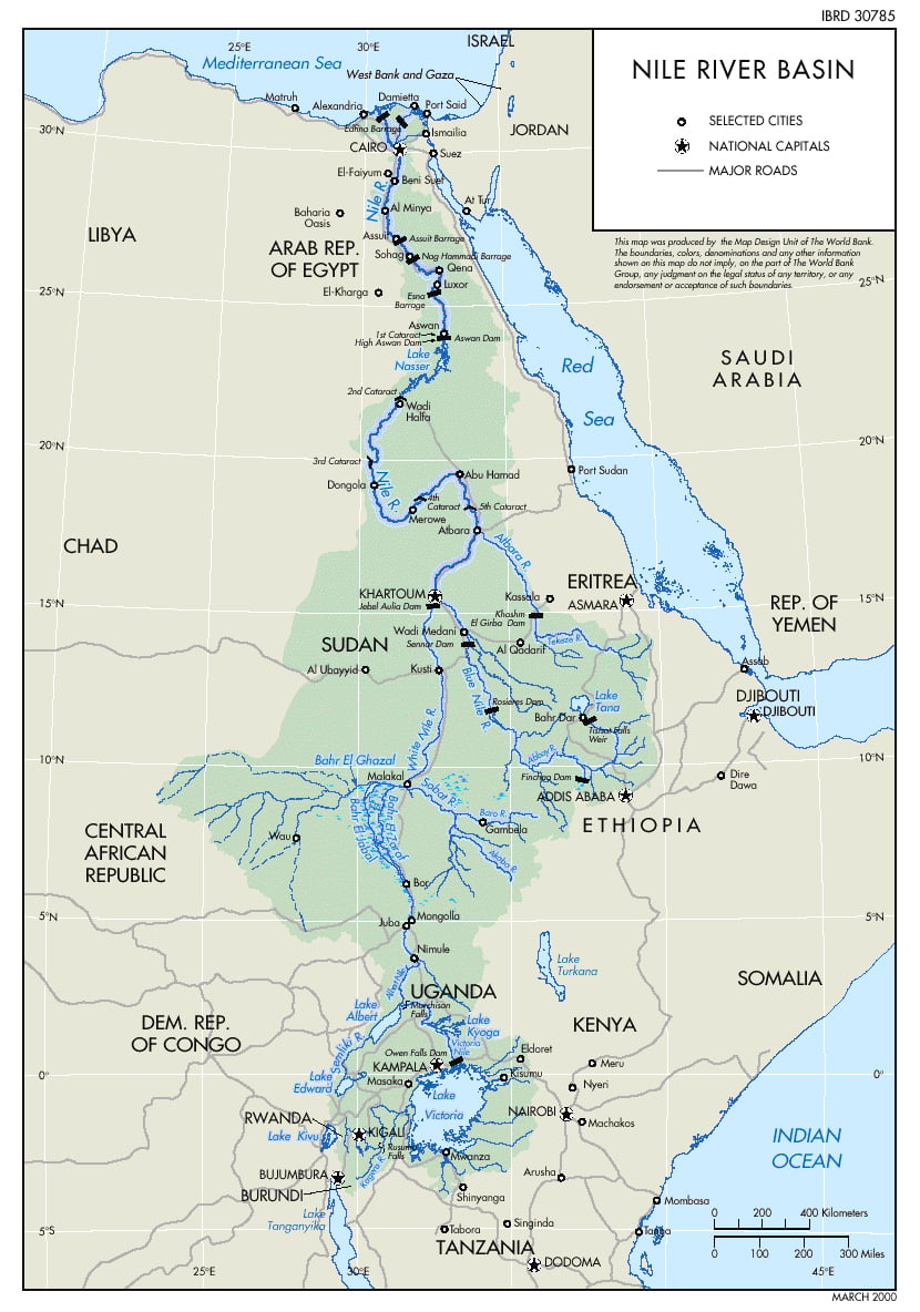
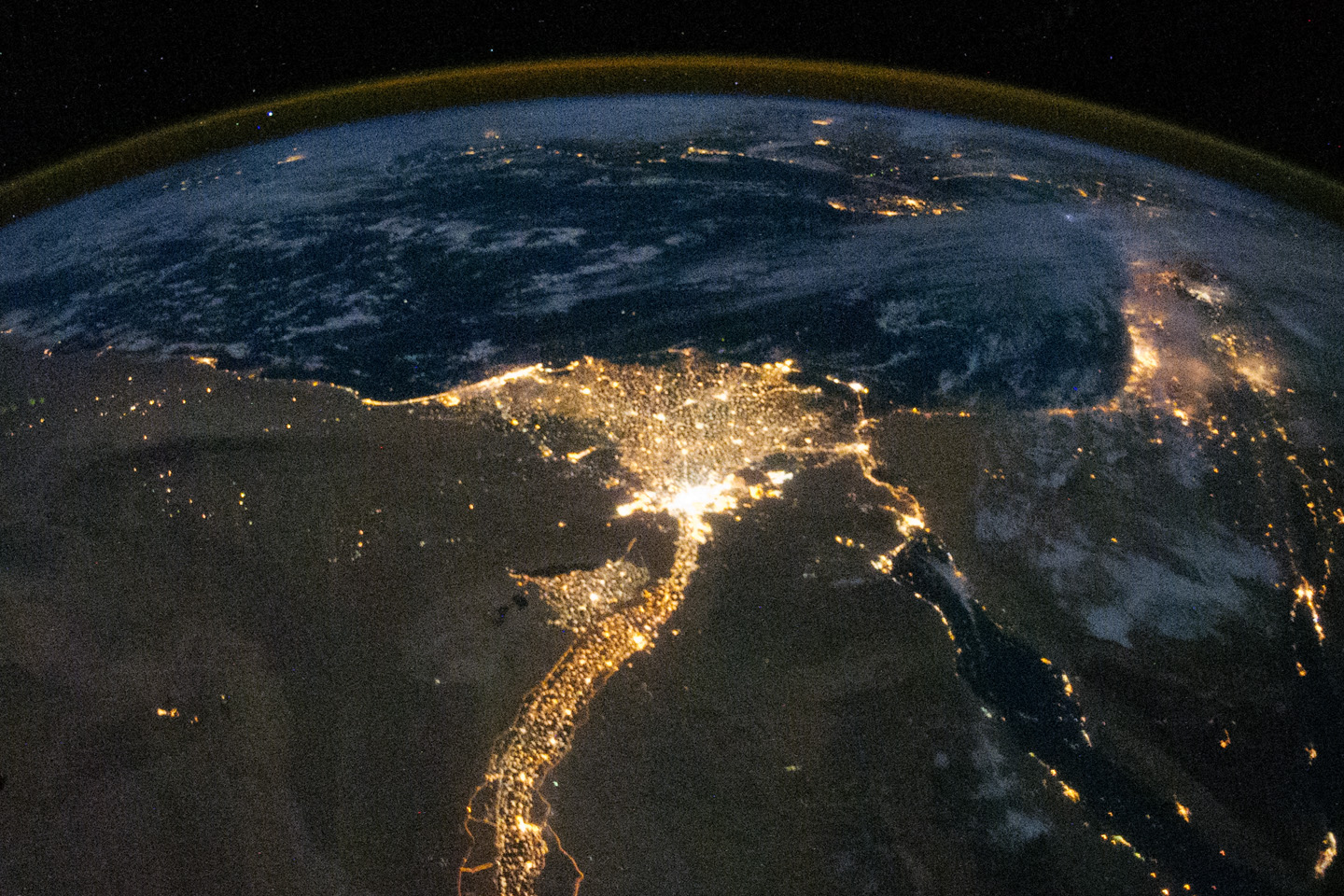
The Nile


Wednesday 18 January 2012

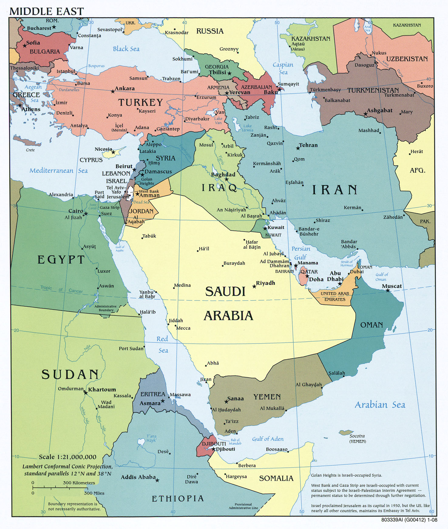
Middle East - Mindmap


Topography of the Middle East